The Geirangerfjord – one of Norway's main attractions
The Geirangerfjord is a UNESCO World Heritage site with some of the very best and dramatic fjord scenery in Norway
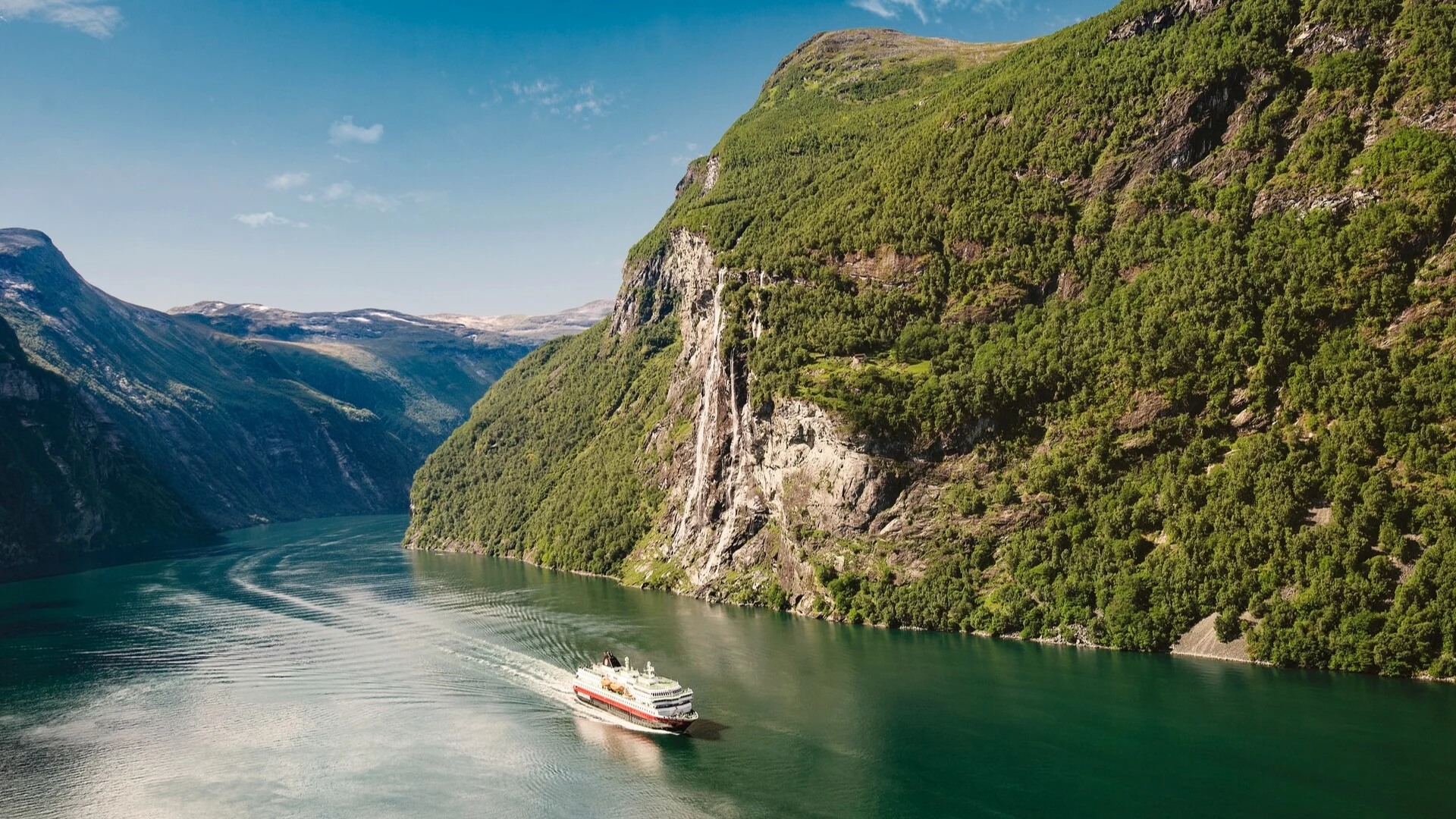
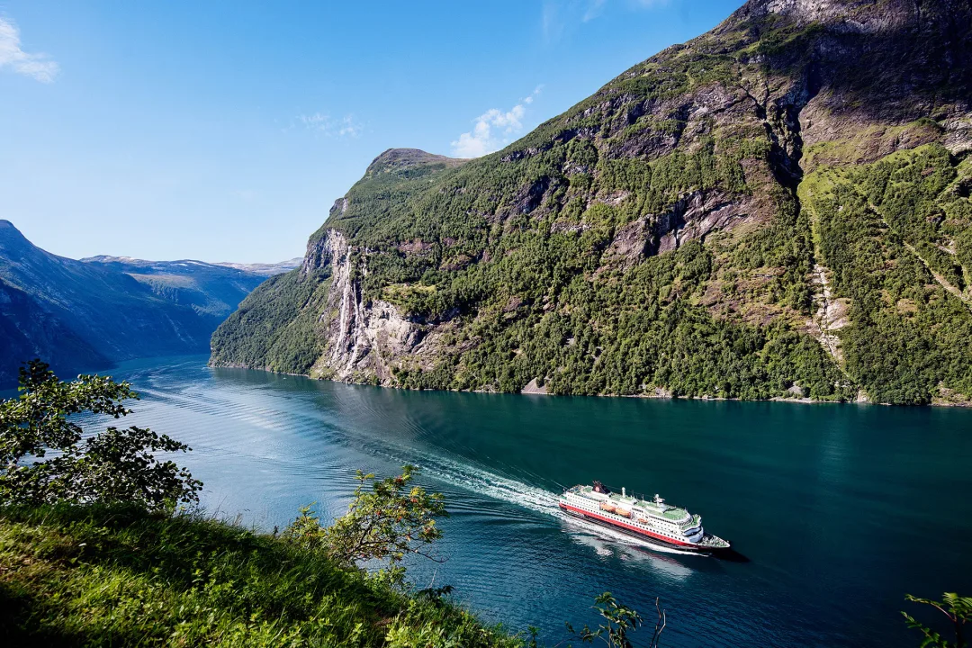
The Geirangerfjord is a fjord in the Sunnmøre region of Møre and Romsdal County in western-Norway. It is often referred to as the "jewel in the crown" of the Norwegian fjords, surrounded by a fairytale landscape with majestic, snow-covered mountaintops, wild and beautiful waterfalls, lush green vegetation and the deep, blue fjord itself.
At the end of the fjord is the small tourist village of Geiranger. The area has been listed as a UNESCO World Heritage Site since 2005, and it has been named the best travel destination in Scandinavia by Lonely Planet. Several hundred thousand people pass through every summer and the 250 people who live there rely on the tourism industry. The tourist season stretches from May to early September.
The Geirangerfjord is home to several famous waterfalls: Brudesløret (the Bridal Veil) is possibly the most famous waterfall in Norway. It tumbles down into Geirangerfjorden just west of De syv søstrene (the Seven Sisters) waterfall. De syv søstrene is one of the most photographed waterfalls in Geirangerfjorden. As the name implies, it consists of seven waterfalls that thunder down the mountain side, just next to the abandoned farm of Knivsflå. Frieren (the Suitor) waterfall lies across the fjord from De syv søstrene waterfall. It is not particularly high, but divides as it tumbles down the mountainside to bare rock between the two streams, making the entire waterfall resemble a bottle.
The Eagle’s Bend is the name of the steepest stretch of road that runs up the mountainside from Geiranger towards Eidsdal on route 63. The road twists and turns through 11 hairpin bends from the Geirangerfjord up to the highest point, 2,034 feet above sea level at Korsmyra. Flydalsjuvet offers an impressive view and is a good photo spot for pictures of Geiranger and of Geirangerfjorden.
A history of the Geirangerfjord
During the last Ice Age, the ice covered all of Norway. It pushed the land mass, carved out the valleys and shaped the fjords. When the ice retreated, the landscape rebounded. In Geiranger the water level was about 295 feet higher than it is now. Today the Geirangerfjord is about 985 feet deep. That is almost as deep as the surrounding landscape is high.
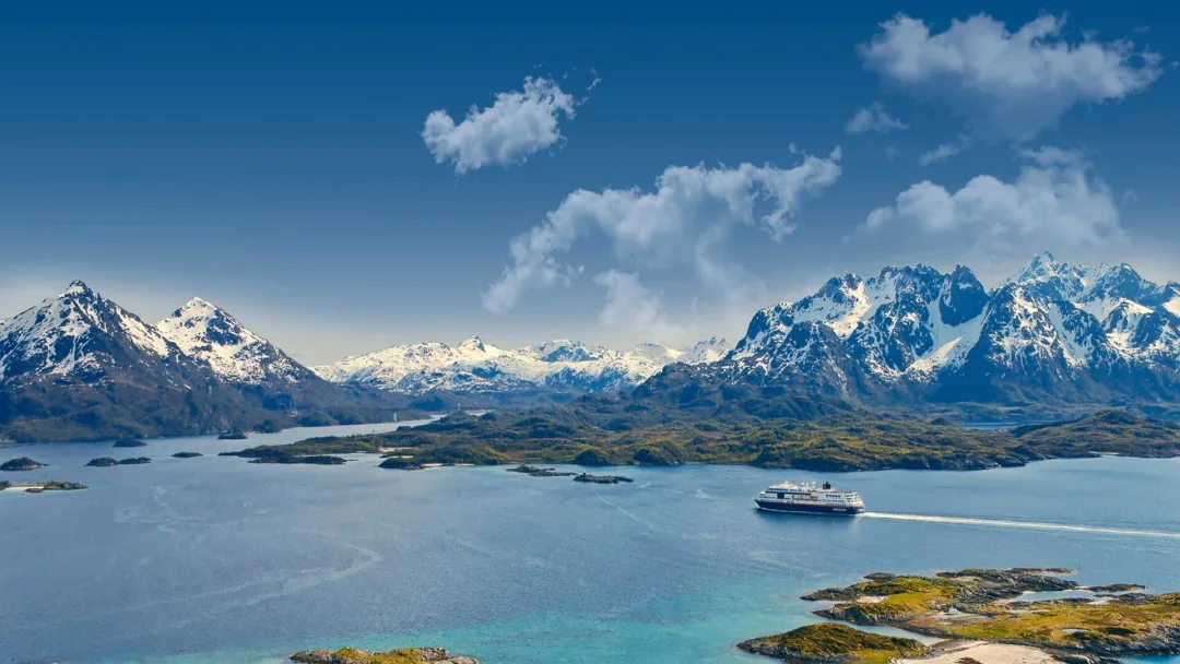
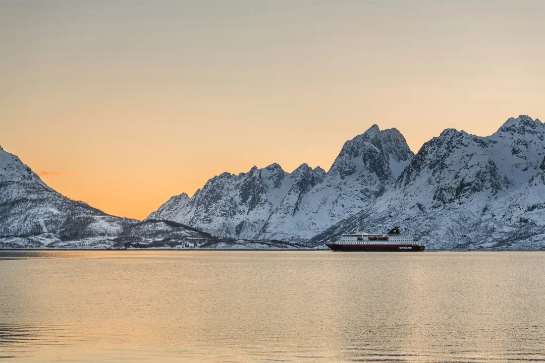
Discover the Norwegian coast with Hurtigruten
- Multiple offers
Roundtrip Voyage from Bergen | Explore Norway’s Coastline
Route
Bergen - Kirkenes - Bergen (Roundtrip)
Departure Dates
Regular departures - 12 days
Price from $3,434
$2,404
Ships
Multiple
- Multiple offers
11-Day Norwegian Voyage | Bergen - Kirkenes - Trondheim
Route
Bergen - Kirkenes - Trondheim (Roundtrip)
Departure Dates
Regular departures - 11 days
Price from
$3,434
Ships
Multiple
- Multiple offers
7-Day Norwegian Voyage: Northbound | Bergen to Kirkenes
Route
Bergen - Kirkenes (Northbound)
Departure Dates
Regular departures - 7 days
Price from $2,336
$1,635
Ships
Multiple